Vector Data Model is most often used with discrete data. Discrete object view is a conceptualization of the world in which all reality can be represented by a series of three categories of separate objects, known as vector objects:
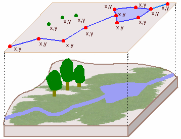
Points, lines and polygons are called vector objects. These are employed in a vector data model, that is, a conceptualization of the world that represents spatial data as a series of vector objects. The relationship of vector model attributes (points, lines and polygons) and how they connect to each other, independent of their spatial coordinates is referred to as topology. The topology of a GIS establishes the properties of:
Basic Spatial Analysis Functions in GIS, using vector objects
A buffer is a polygon built around a vector object (point, line polygon) in a data layer that provides information about attributes in a discrete defined space.
Dissolve is the ability of the GIS to combine polygons that share the same features: it removes the boundaries between the polygons
Overlay is the combining of two or more layers in a GIS to determine the spatial relationship between two datasets
Intersect is a type of GIS overlay that identifies the features that are common to the two layers.
Identity: all the features of an input layer are retained and all features o fhte second layer that intersect with them are also retained
Symmetrical Difference: a type of GIS overlay that retains all the features from both layers except for the features that they have in common
Union (overlay): a type of GIS overlay that combines all features from both layers, mergin them into a new layer.
When spatial tools are applied in a GIS problem-solving context, we call this a GIS model: a representation of the factors used for explain the processes that underlie an event, or for predicting results.
http://www.geography.hunter.cuny.edu/~jochen/GTECH361/lectures/lecture05/concepts/03%20-%20Geographic%20data%20models_files/image001.gif
Database Query and Selection
If you are examining how objects relate to each other across distance you are conducting a spatial analysis. This ability is what sets GIS products apart from static maps.
Spatial analysis is the examination of characteristics or features of spatial data and/or how features spatially relate to each other.
Think about an example of spatial analysis that you might conduct mentally while walking or driving to work.
Data is retrieved from the built GIS by performing a database query. A query will specify the conditions that determine what is extracted and retrieved from a database. Structured Query Language (SQL) is the formal mathematical equation used to retrieve data from a GIS. A query has one of the following relational operators, all of which are familiar to you from math class:
> (greater than)
< (less than)
= (equal to)
<> (not equal)
For more complex queries, equations can be linked together into a compound query, using connectors known as Boolean Operators:
AND
OR
NOT
XOR- this last Boolean operator queries all the data from each layer, except what they have in common. This connector is called an “exclusive or”.
In other words, this is the operation where the chosen features are all of those that meet the first criterion as well as all of those that meet the second criterion, except for the features that have both criteria in common in the query.

