Geographic Information Systems (GIS) are pervasively used in most every discipline such environmental management, archeology, social sciences, business, marketing, and land use planning. In this course you will learn basic GIS concepts and gain experience in hands-on data collection, management, and analysis of data to produce information for better decision making and interpretation.
Learning Outcomes
Students completing this course will be able to:
 Professor Rebecca Boger
Location: 4151 Ingersoll Hall
Phone: 718.951.5000 x2159
Fax: 718.951.4753
Email:  brooklyn.cuny.edu
Note: Email is the best way to contact Professor Boger
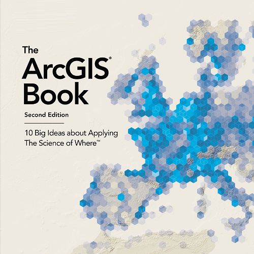
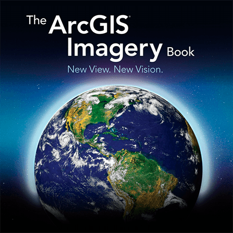
Readings and other materials are posted under the content areas shown in the tabs near the top of the page. You will be using two free text resources available as a pdf files online. Assignments will be posted on this course website. Please submit your assignments to Blackboard. Click on the images or highlighted text to download the books:
Text: The ArcGIS Book 2nd Edition. C. Harder and C. Brown, eds. ESRI Press, Redlands, CA 2017

Text: The ArcGIS Imagery Book. C. Brown and C. Harder, eds.ESRI Press, Redlands, CA 201.
