Georeferencing
Georeferencing is the process of matching a data set to spatial coordinates. Other terms for georeferencing that you may encounter include:
Image to map rectification
Geometric transformation
Registration
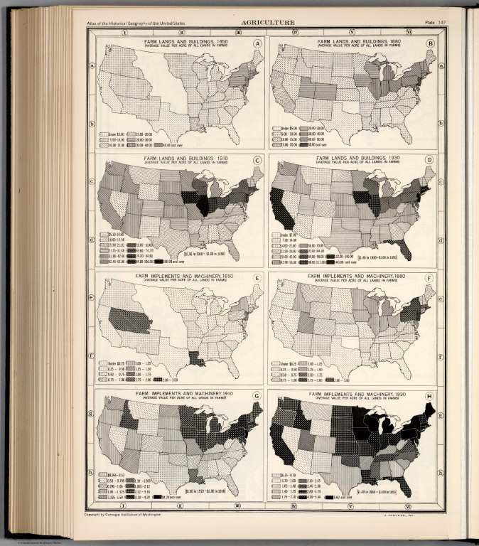
How were these historic maps transformed to a georeferenced format, in such a way that the maps could be aligned with each other? This is an important question. What are needed are control points that can be used when aligning the two maps and their respective data sets. A minimum of three control points are necessary.
Then, the map is “rectified” to match it to its reference source. This requires mathematical algorithms that rotate, skew, and scale a dataset (such as an old map) into spatially referenced data.
A first order transformation commonly used is called the Affine transformation. Whether or not the mathematical product of the transformation is reliable can be evaluated by calculating an error measure, such as the Root mean square error (RMSE). This measure is used to determine the accuracy of the overall transformation of the unreferenced data to a spatially referenced data set.

