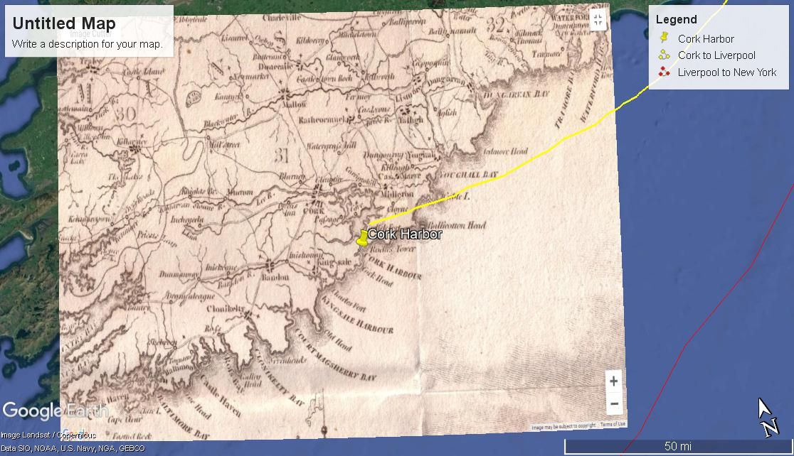
Easy to use the interface, easy to add layers: As one can see from the overlays of a view of Rome even a novice user (this site designer) was able to place and manipulate a map of the Seven Hills of Rome on top of a Google Earth "Satellite imagery" map of modern Rome. Perhaps it is not surprising that Google provided the easiest of the map interfaces.
Fun dynamic: With this program, you can literally spin the globe and let your finger land on any random spot to decide where to explore next. It's easy to get lost for hours clicking around to view images of different places and see how people live in all parts of the world. Also amusing is the flight simulator, which lets you "fly" around the globe.
Lots of info: In addition to the images, which are excellent, this app also provides tons of information on the people, culture, and history of an area.
Awkward navigation: When you're poking around, it's sometimes hard to know what you're clicking on other than photos. There are many different types of icons denoting various kinds of features all over the map, and while there is a key provided, the icons are so small that it's tough to tell them apart most of the time. This makes searching for specific features or information difficult.
Google Earth gives you a lot of fun information to play with, but it could benefit from a bit of an interface upgrade. That's no reason not to try it out, though, especially since it's free, and it does run smoothly, even if you can't always tell exactly what you're clicking on.
Google Earth and Google Maps used to be very different products, but over the past few years they’ve become much more similar. This is largely due to the addition of new features to Google Maps, such as support for 3D Imagery and other features that used to only be available in Google Earth.
The main difference between the two is that Google Maps is accessed through a Web browser and an Internet connection. Google Earth, in contrast, has been a program that you download and save on your computer, though now it does have a web browser plugin functionality.
Google Earth lets you take a virtual trip to anywhere in the world, with tons of photos, information, and other types of interactive displays you can explore. Whether you have a particular destination in mind, or you just want to poke around and see what it's like to live in different areas, this app has tons to offer. You can either download the free software to your personal computer, or you download the free browser plugin. In either case, this will ONLY be available on your personal computer, not Brooklyn College library or lab computers.
Google Maps is probably the most widely used of the GIS platforms. Although it is not necessarily the best tool for complex data visualization, it is extremely robust and easy to use on mobile devices, and is better for the demonstration of routes and journey times. If you know some Javascript, Google Maps has alot of potential for creating interestingly styled, customized maps.